
THEY WERE LIVING THE DREAM. THEN CHALICE SHATTERED IT.
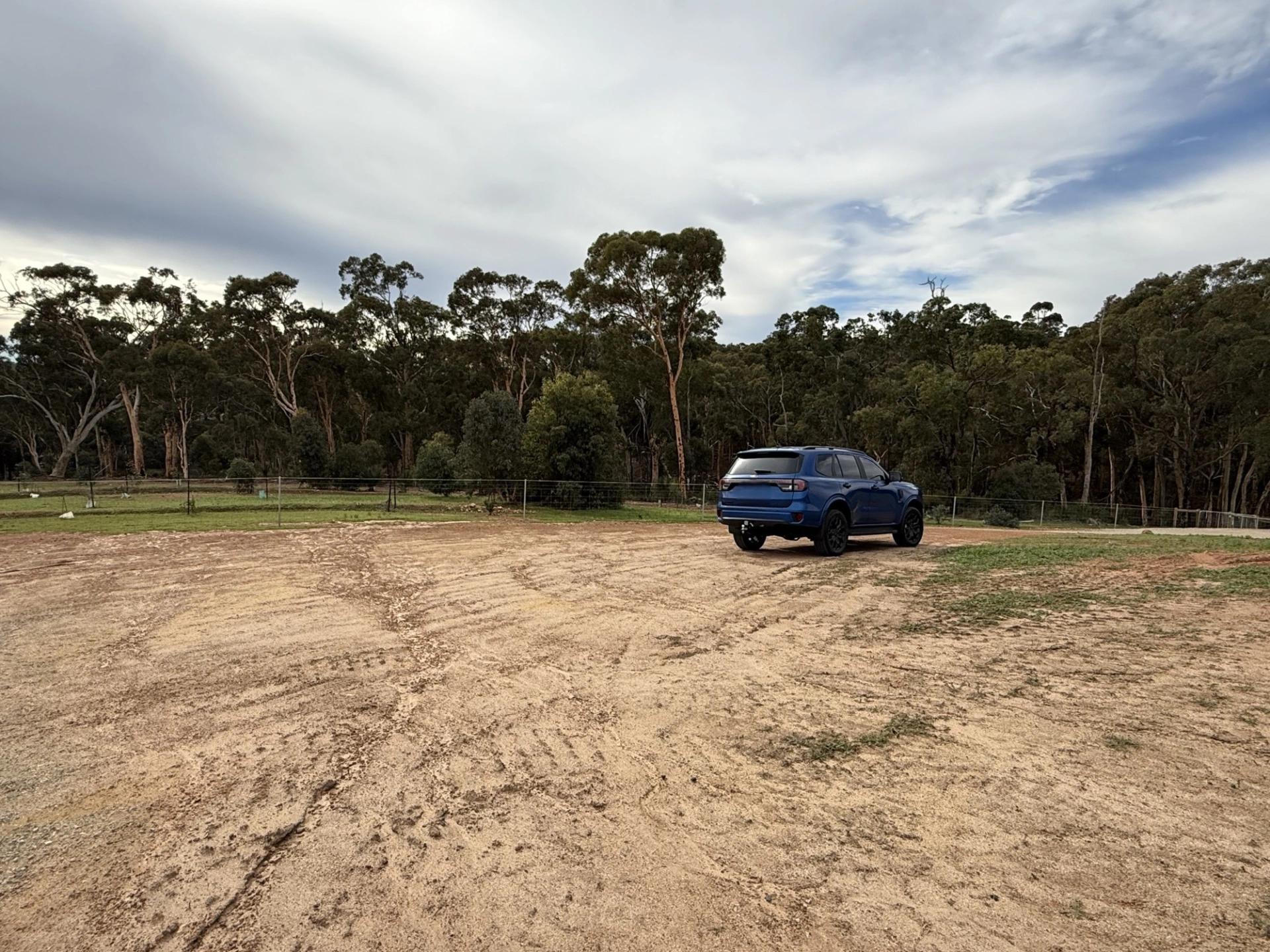
A COMMUNITY STORY — MARYVILLE HEIGHTS, LOWER CHITTERING
In December 2025, Jaceline and her family bought a block in Stage 5 of Maryville Heights and began planning the home they believed they would grow old in.
They weren't moving far. Their established home was in the next street, but they had found a block that offered something special, elevation, sweeping rural views, privacy, beautiful native bushland and a Tree Preservation Area behind where their new home would stand.
It was exactly what they had been looking for.
They sold their existing home to help finance the land and construction of their new one.
Then they committed.
They took on a mortgage and signed a building contract. Their home was carefully designed around the landscape and the trees they wanted to preserve.
Building amongst native vegetation came with additional costs. They spent tens of thousands of dollars meeting bushfire construction requirements and around $75,000 on earthworks and site preparation.
The house pad was built.
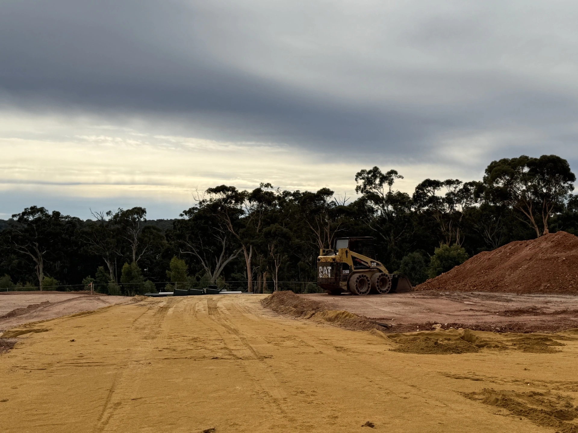
The photographs on this page were taken from that pad, the place where their home is intended to stand.
By then, more than $1.5 million was committed to the future they had planned there.
The land was prepared. The plans were in place.
Their dream was becoming real.
Then, five months after they bought the land, Chalice came to see them.
It was May 2026.
Jaceline and her family were told that the preferred infrastructure corridor for the proposed Gonneville Project went through their property.
Plans subsequently provided to them showed approximately half their block within the proposed corridor, including part of their Tree Preservation Area.
Imagine being told that after selling your home, taking on a mortgage, signing a building contract and preparing the site for the house you believed would be your forever home.
Walking away was no longer a realistic option.
Delaying their building contract would have cost them approximately another $30,000 almost immediately, with further construction cost increases potentially following.
They were committed financially.
But they were also committed emotionally.
They had chosen this particular piece of land because of what it was.
The trees mattered.
The views mattered.
The privacy mattered.
The wildlife mattered.
They hadn't bought a bare parcel of land waiting to be crossed by infrastructure.
They had bought the place where they wanted to live.
And then came something else they struggled to understand.
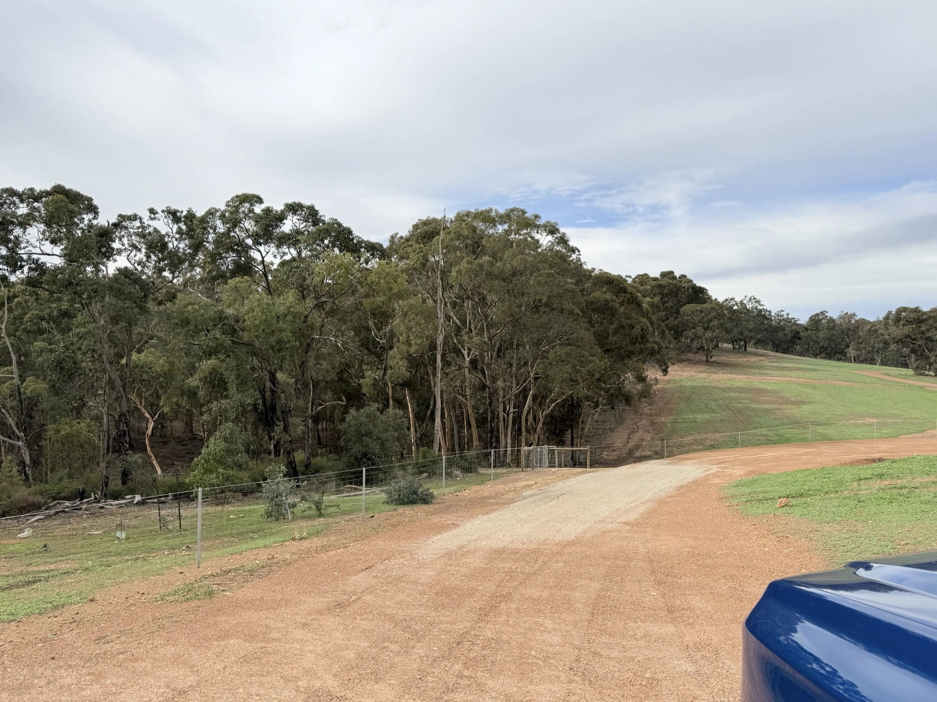
The land through which this preferred corridor had been drawn had not even been physically surveyed on the ground.
Chalice has publicly referred to environmental surveys undertaken during 2025 as it refined infrastructure corridor options.
But where permission to enter private land had not been obtained, on-ground survey teams could not access that land.
This section of the Maryville Heights Tree Preservation Area had not been physically surveyed.
It had been assessed using desktop information.
Yet by May 2026, a family who had bought their land only five months earlier was being shown a preferred infrastructure corridor affecting approximately half of it.
For Jaceline, that raised an obvious question.
How could this route have progressed this far without the land it could directly affect first being properly examined on the ground?
That question has become even more significant as more has been learned about the bushland itself.
Subsequent on-ground observations within the Tree Preservation Area identified multiple potential habitat hollows.
And this landscape is not simply potential habitat.
Carnaby's Black-Cockatoos and Forest Red-tailed Black-Cockatoos are both breeding here, using hollows in century-old habitat trees.
The bushland is also used as a wildlife corridor.
These are the very things Jaceline and her family believed they were choosing to live amongst.
So they started asking questions.
Why this route?
Why were alternatives discounted?
Why couldn't greater use be made of existing infrastructure corridors?
Could different energy options reduce the impact on homes, properties and vegetation?
And why should families living kilometres from the proposed mine be expected to carry the consequences of the infrastructure required to service it?
Chalice has said alternatives have been considered.
But for a family whose home may be directly affected, being told that alternatives have been considered is very different from being shown why they were rejected.
Jaceline and other affected residents repeatedly asked for a community information session where everyone could hear the same information, ask questions together and understand what was being proposed.
That did not happen.
Instead, consultation has largely occurred individually.
Residents have found themselves comparing information with one another, trying to understand whether everyone is being told the same thing.
Jaceline says they have not always been directly informed when aspects of the project have changed.
Some of what they have learned about a project potentially affecting their own home has come through other residents and Facebook.
For a family facing something of this magnitude, that has been deeply frustrating.
They have been spoken to.
But they do not feel they have been listened to.
And behind all the maps, plans, surveys and corporate language is a profound imbalance.
On one side is a publicly listed mining company dealing with government agencies, infrastructure providers, consultants and approval authorities.
On the other is a family trying to protect the future they had already committed themselves to building.
Jaceline's family is not alone.
The proposed infrastructure corridor extends far beyond the proposed mine, through communities, private properties and working farms.
Maryville Heights is directly affected.
Properties in neighbouring Chittering Springs sit immediately alongside sections of the proposed corridor.
Further along either sides of the rural residential area aling the proposed corridor are rural properties and working farms
On a map they can look like parcels of land between two points.
But they aren't.
They are people's homes.
Their livelihoods.
Their life savings.
Their landscapes.
Their futures.
And that is what can disappear when a project is reduced to lines on a map.
Words such as "corridor", "alignment", "easement", "access route" and "development envelope" sound technical and remote.
For the people underneath those lines, they mean something very different.
Jaceline and her family bought their land in December 2025.
They sold their existing home.
They designed their new home around the landscape.
They signed a building contract.
They committed more than $1.5 million.
They spent around $75,000 preparing their land.
Their house pad was built.
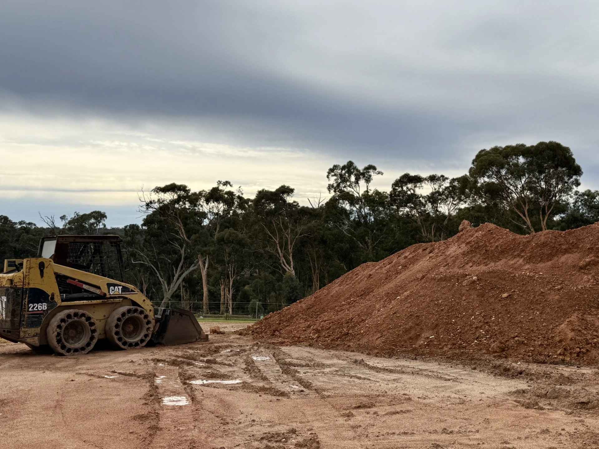
Then, in May 2026, they were told Chalice's preferred infrastructure corridor went through their property.
As Jaceline puts it:
"For us, this is not just an infrastructure corridor, it is our home, our life savings and the peaceful future we believed we were building."
Chalice calls this a preferred infrastructure corridor.
For the family and wildlife already here, it is home.
And that should matter before any line on a map becomes a line on the ground.