
PART 1 — THE ROAD NETWORK
WHAT WILL IT TAKE TO PUT GONNEVILLE ON OUR ROADS?
Much of the discussion about traffic from the proposed Gonneville mine has focused on one figure: around 60 trucks a day.
But concentrate trucks are only one part of the transport task created by a major mine.
Gonneville is expected to employ around 1,200 people during peak construction and more than 500 during operations. Chalice's project planning has contemplated a largely locally based workforce commuting to the site rather than a permanent mining camp.
Then there is construction freight, contractors, buses, service vehicles, fuel and consumable deliveries, heavy equipment, oversized loads, concentrate transport and the corresponding return journeys.
The real question is therefore much larger than how many concentrate trucks might travel each day.
How much additional traffic will Gonneville generate in total, where will it actually travel, and what will have to change to accommodate it?
MORE THAN 60 TRUCKS
A complete traffic assessment needs to distinguish between construction and operations, average and peak traffic, loaded and empty movements, heavy and light vehicles, workforce and freight traffic, and daytime and night-time movements.
That distinction becomes particularly important during construction.
Approximately 1,200 construction jobs does not mean 1,200 cars will arrive at Gonneville every day. Workers may travel by bus, carpool, work different rosters or arrive across separate shifts.
But the scale illustrates why the workforce transport plan matters.
At the theoretical extreme, 1,200 workers each travelling separately to and from the mine would produce 2,400 one-way vehicle movements. That is not a forecast of Gonneville traffic. The actual figure could be substantially lower.
What needs to be disclosed is the modelling behind it: expected vehicle occupancy, buses, shift times, contractor movements, construction rosters and the routes workers are expected to use.
Construction brings another traffic stream.
Gonneville is a greenfield development. Processing plant components, construction materials, machinery, electrical equipment and other infrastructure will have to reach the site. Some large components may also require specialised heavy transport.
The construction period therefore needs to be assessed as its own traffic peak rather than disappearing inside a long-term daily average.
THESE ROADS ALREADY HAVE A PURPOSE
The roads surrounding Gonneville are not empty transport corridors waiting for a mine.
They already carry residents, commuters, agricultural vehicles, school traffic, tourists, existing freight and recreational road users.
And there is evidence that increasing heavy traffic has already affected Chittering Road.
A federally funded repair project completed in 2023 recorded pavement settlement and corrugations towards the road edges due to increased heavy-vehicle traffic associated with development in the area.
That does not tell us what Gonneville traffic would do.
It does demonstrate why existing traffic volumes and road condition should be properly documented before Gonneville construction traffic begins.
Without that baseline, determining years later what represents normal deterioration and what represents change associated with a new long-term industrial traffic task becomes considerably more difficult.
WHERE WILL THE TRAFFIC ACTUALLY GO?
There is another problem with talking about the Gonneville route.
Even once a formal concentrate haulage route is established, that does not mean every vehicle generated by the project will follow it.
Restricted Access Vehicles can be limited to approved roads and networks. But the Gonneville traffic task will also include employees, contractors, subcontractors, service vehicles and other deliveries.
Unless their routes are specifically controlled, those drivers may approach the mine from different directions depending on where their journey begins, travel time, congestion, roadworks or the route recommended by navigation systems.
Nor can a nominated route be assumed to remain available every day.
Serious crashes, bushfires, flooding, fallen trees, roadworks or other incidents can close roads and require traffic to be diverted.
A complete assessment should therefore identify credible diversion routes and determine whether surrounding rural roads, bridges and intersections could safely absorb additional project traffic during a closure.
It should also consider what happens if an intersection becomes congested around a shift change. Where might drivers divert? If surrounding local roads are not intended to carry Gonneville-generated traffic, what measures would actually prevent them becoming shortcuts?
The traffic assessment cannot simply draw a line between the mine and a port and assume that line represents Gonneville's entire road impact.
It should model the likely distribution of project-generated traffic across the surrounding road network, including alternative and shorter routes that drivers could reasonably use.
The question is therefore not simply:
“What is the Gonneville haulage route?”
It is:
“Where will Gonneville-generated vehicles actually travel under normal conditions and when the preferred route is unavailable?”
WHAT WOULD HAVE TO CHANGE?
This may ultimately be more important than the vehicle count itself.
A road can potentially be engineered to accommodate larger or more frequent vehicles. But doing so can require far more than additional bitumen.
Depending on the final vehicle configurations and traffic volumes, engineering assessment may need to consider pavement strength, road width, shoulders, gradients, curves, sight distances, intersections, turning movements, drainage, culverts and bridges.
Chalice's own project material acknowledges that local road upgrades will be required.
Its transport planning also contemplates different freight arrangements as the project expands, including Restricted Access Vehicles during Stage 2.
But there is a crucial distinction between proposing a transport solution and establishing that the public road network can accommodate it.
In August 2026, Main Roads Heavy Vehicle Services confirmed in writing that there had been “no discussions or assessments for a specific haulage route” for Gonneville.
That statement needs to be understood precisely.
It does not mean the roads cannot ultimately accommodate Gonneville's heavy vehicles. Nor does it establish that Main Roads and Chalice have never communicated about any aspect of the project.
It means that, at that point, a specific Gonneville haulage route had neither been discussed nor assessed through Heavy Vehicle Services.
That is significant because Chalice's project planning already contemplated road transport and Restricted Access Vehicles.
The suitability of the eventual heavy-haulage route therefore remained a question still to be formally tested.
THE WHOLE ROUTE HAS TO WORK
Any eventual route has to be considered as an entire connected system.
There are bridges, creek crossings, culverts, bends, intersections, driveways and narrow sections. Heavy vehicles need adequate space to turn and sufficient distance to accelerate, brake and merge. Bridges and other structures need to be suitable for the proposed vehicle configuration and loading.
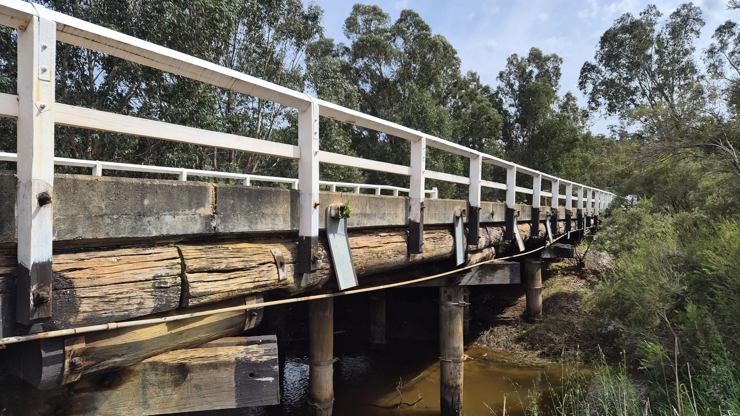
The Chittering road network includes crossings of the Brockman River. Bridge 4026 on Chittering Road, for example, required reconstruction and a complete road closure while works were undertaken in 2023.
That does not establish that Bridge 4026, or any other bridge, is unsuitable for Gonneville traffic.
It demonstrates why bridges cannot simply be assumed suitable before the actual design vehicles and loads are assessed.
The same applies to intersections.
Workforce traffic could create concentrated peaks around shift changes at the same time that residents are commuting, children are travelling to school, tourists are exploring the valley and agricultural vehicles are using the road network.
The eventual assessment therefore needs to demonstrate more than whether a truck can physically travel from the mine to its destination.
It needs to show how the road network functions when Gonneville traffic is added to everything already using it.
WHEN THE SOLUTION BECOMES PART OF THE IMPACT
This is where the traffic investigation becomes much bigger than transport engineering.
If additional traffic requires road widening, intersection reconstruction, turning lanes, improved sight distances, bridge or culvert modifications, barriers or other safety treatments, those works have consequences of their own.
Road widening can require roadside vegetation to be removed. Improving sight distances can mean clearing mature trees or understorey. Culvert extensions and bridge works can interact with waterways. Larger intersections occupy more land. Barriers, signs and other infrastructure can change the appearance and experience of a rural road.
Each individual treatment might be entirely justified on safety grounds.
But that does not mean its environmental and social effects disappear.
And Chittering is not simply any rural road environment.
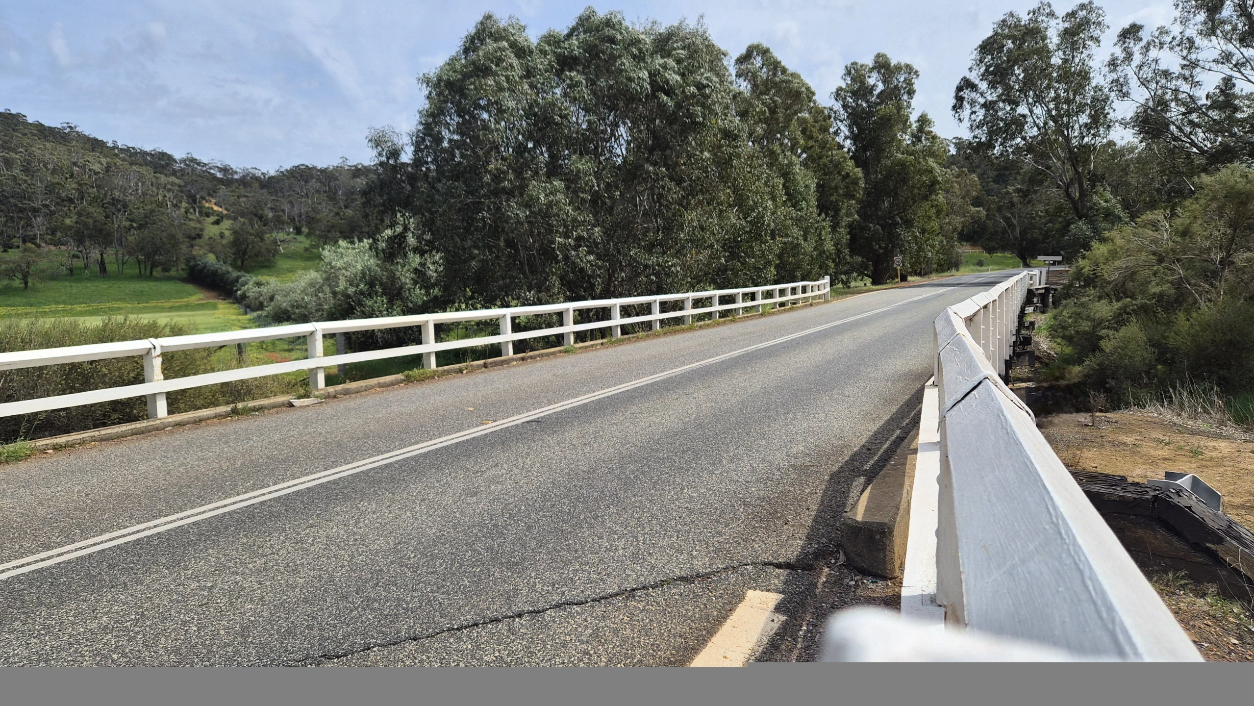
The Shire's Local Planning Strategy describes the vistas from roads winding through the narrow Brockman River valley, its lakes and wetlands, mature roadside trees, orchards and wineries. It says both visitors and residents value the area's natural and rural character.
Most importantly, it identifies the Chittering Valley Tourist Way — State Tourist Route 359 — as being of State-level significance, noting its narrow and winding character and its role as a scenic route.
The strategy also recognises the importance of protecting the experience of Chittering's natural and rural landscape.
That creates a question which goes well beyond whether a road meets an engineering standard:
What happens if making the road network capable of safely accommodating Gonneville traffic requires changing some of the characteristics that make Chittering Valley distinctive in the first place?
This is not an argument against making roads safe.
It is an argument for recognising that the mitigation itself can have impacts.
If project generated traffic requires wider roads, larger intersections, additional barriers, vegetation clearing, bridge or culvert works or other changes outside the mine site, those changes form part of the broader consequences of putting Gonneville on the road network.
And they need to be considered together.
Because the environmental footprint of a mine does not necessarily end at its gate.
BEFORE ANYTHING CHANGES
There is one more thing that needs to happen before those impacts can properly be measured.
We need to establish what Chittering Valley is like before Gonneville.
Not simply today's vehicle count.
Its existing soundscape. Its roadside vegetation. Its wildlife movement and roadkill levels. Its night-time darkness. Its scenic views. Its tourism and recreational use. Its road and bridge condition. And the peace, tranquillity and rural character people experience today.
Without that baseline, it becomes extraordinarily difficult to measure what has changed afterwards.
And that leads to the much bigger question at the heart of this investigation:
What could decades of additional mine related traffic mean for the noise, wildlife, tourism, landscape and tranquillity of a valley whose character depends on precisely those things?
THE VALLEY BEYOND THE ROAD
WHAT DOES A QUIET VALLEY SOUND LIKE?
Traffic impacts are not measured only in vehicle numbers.
They are also heard.
Heavy vehicles accelerating, braking and changing gears produce a very different sound from ordinary rural traffic. Construction traffic and workforce movements could create concentrated periods of activity around shift changes, while movements before sunrise or after dark would be more noticeable against a quiet rural background.
This distinction matters in Chittering because tranquillity is not something being invented for this investigation.
In the Shire's 2025 community engagement, residents identified rural lifestyle and country atmosphere, the natural environment and scenic landscapes, and space, peace and tranquillity among the things they valued about living in Chittering.
Noise assessment therefore needs to consider more than whether traffic complies with a numerical limit.
A vehicle can comply with applicable noise requirements while repeated heavy-vehicle movements still alter the character of a previously quiet environment.
The important question is not simply:
“Will it be legally too loud?”
It is also:
“How different will the valley sound?”
That makes an existing acoustic baseline essential. Noise should be measured before major construction traffic begins, at representative locations and times, including the quieter periods when additional traffic may be most noticeable.
Without that baseline, the soundscape that existed before Gonneville is largely lost as evidence.
WILDLIFE DOES NOT RECOGNISE A HAULAGE ROUTE
Road traffic also creates an ecological issue.
Gonneville's EPA assessment already includes Terrestrial Fauna as a preliminary environmental factor. But fauna impacts do not necessarily stop at the mine boundary, particularly in a landscape where bushland, creek lines, road reserves and remnant vegetation provide habitat and movement pathways.
This is not an abstract concern for Chittering and Julimar.
The Western Brush-wallaby (Notamacropus irma), also known as the black-gloved wallaby or kwoora, is WA Priority 4 fauna and occurs within this landscape. Vehicle strike is a recognised threat, and the species is particularly active around dawn and dusk. Local wildlife carers have also documented Western Brush-wallabies killed by vehicle in the Toodyay and Chittering districts.
Those are precisely the periods when early or changing mine shifts could potentially increase traffic.
And the issue extends well beyond one species.
Additional traffic increases the interaction between vehicles and animals moving across or alongside roads. Road widening can increase crossing distances, while removal of roadside vegetation can alter shelter and connectivity. Barriers can impede movement, and additional headlights, noise and vehicle activity can change the environment experienced by nocturnal and crepuscular fauna.
Creek lines and vegetated road reserves can also connect otherwise fragmented habitat.
The Chittering Valley Scenic Drive itself has previously been recognised for its importance as a fauna corridor as well as for its landscape values.
That makes the pre-Gonneville baseline critical.
Where are animals crossing these roads now? Which sections already experience wildlife collisions? Which species are involved, and at what times of day and year?
Before major construction traffic begins, existing fauna movement and roadkill patterns should be documented along potentially affected roads. Without that information, any future change in wildlife mortality or movement becomes considerably harder to identify.
And the assessment cannot consider only the nominated heavy haulage route.
Workforce and contractor traffic may disperse across surrounding roads, while crashes, bushfires, flooding or roadworks could divert traffic onto alternative routes.
For wildlife, the relevant impact area may therefore be a network of roads rather than one line on a transport map.
AFTER DARK
Night time deserves separate consideration.
A rural valley after dark is fundamentally different from an urban transport corridor.
Employees travelling to early shifts, contractors, service vehicles and any permitted night-time heavy movements could introduce additional headlights and vehicle activity into places that currently experience relatively little traffic at those hours.
Road upgrades could also require additional fixed lighting at intersections or other locations.
That matters for residents, but potentially for wildlife as well.
The Western Brush wallaby example demonstrates why the timing of traffic matters. Daily totals alone cannot show whether hundreds of movements are concentrated around dawn, dusk or shift changes the same periods when some fauna are particularly active.
The assessment should therefore identify expected traffic by hour of day, not merely provide a daily total.
It should also identify where additional road lighting may be required and assess the combined effects of headlights, fixed lighting, noise and increased night-time activity.
Again, the baseline matters.
Once a quiet, dark rural environment has changed, it is impossible to go back and reliably measure what existed beforehand.
A SCENIC DRIVE IS PART OF THE DESTINATION
Chittering's roads are not simply a way of getting somewhere else.
The journey itself is part of the attraction.
The Chittering Valley Tourist Way, State Tourist Route 359, is recognised as being of State level significance. The Shire's planning strategy describes winding roads through the Brockman River valley, lakes and wetlands, mature roadside trees, orchards, wineries and rural vistas valued by visitors and residents.
Accommodating substantially greater industrial and commuter traffic may require wider roads, larger intersections, cleared sightlines, barriers, signage and turning facilities.
Individually these may be necessary safety measures. Collectively, they could change what a scenic rural drive looks and feels like.
The question is not simply whether tourists can still reach Chittering.
It is what kind of Chittering they experience when they arrive.
PEOPLE LIVE HERE FOR THESE THINGS
The same landscape promoted to visitors is home to the people who live here.
In the Shire's own 2025 community engagement, residents identified rural lifestyle and country atmosphere, the natural environment and scenic landscapes, and space, peace and tranquillity among the things they valued about Chittering.
These values were not invented because a mine was proposed.
They existed first.
That means Gonneville's traffic impacts cannot be assessed solely through road capacity, travel times and regulatory limits.
A road may continue functioning and a house may remain standing, while the experience of living in that landscape still changes.
WHEN THE MAIN ROUTE CLOSES
No nominated route will be available every hour for decades.
Crashes, bushfires, flooding, roadworks and other incidents can force traffic onto alternative roads.
A Gonneville traffic assessment should therefore identify credible diversion routes and determine whether those roads, bridges, intersections and communities could safely absorb additional project traffic.
Workers, contractors and service vehicles may also choose different roads according to journey origin, travel time, congestion or navigation advice.
The Gonneville traffic footprint could therefore extend considerably beyond its eventual heavy-haulage route.
ESTABLISH THE BASELINE BEFORE IT IS GONE
Before major Gonneville traffic begins, document Chittering as it is now.
Traffic volumes and vehicle types. Road and bridge condition. Noise. Wildlife crossings and roadkill. Roadside vegetation. Night-time conditions. Scenic viewpoints. Tourism and recreational use.
And the things residents have already told the Shire they value.
Without that pre-Gonneville baseline, future change becomes much harder to measure.
THE QUESTION THAT REMAINS
This investigation began with trucks.
It ends with a much bigger question.
Before Gonneville is approved, the community deserves to know how much traffic it will generate, where that traffic will travel, what road modifications will be required and what happens when the nominated route is unavailable.
Because the question is not simply whether Chittering's roads can be modified to accommodate Gonneville.
It is what decades of mine related traffic and road modifications could mean for the wildlife, scenery, tourism, safety, tranquillity and rural character of Chittering Valley.
The community has already told the Shire what it values here.
Before those things are changed, they deserve to be counted.